Uganda; "the Pearl of Africa" Country Information
General Information
Governance: Officially named The Republic of Uganda, headed by the President guided by the republican constitution.
Capital: Kampala
Major Towns: Kampala, Mbale, Entebbe, Fort-Portal, Mbarara, Jinja, Gulu and Arua
Area: 236,040 sq km
Population: approximately 33 million people (2010 EST.) - 3.6% growth rate
Adult age: 18 and above (Eligible voter)
Language: English (official), Kiswahili, Luganda
Departure Tax: US$20. Payable for all international Flights (included in the air ticket fees).
Electricity - 220-240 volt AC, with British type 13-amp 3-prong plugs.
Time zone: GMT+3 (EST+8hrs)
Currency: Ugandan Shilling (UGX)
Country dialing code: +256
Religions
- Roman Catholic (41%)
- Anglican (40%)
- Islam (5%)
- Other beliefs (14%)
People and Culture
Situated at the geographical heart of the African continent, Uganda has long been a cultural melting pot, as evidenced by the existence of 30-plus different indigenous languages belonging to five distinct linguistic groups, and an equally diverse cultural mosaic of music, art and handicrafts.
The people of Uganda are classified into; the Nilotic speakers who entered Uganda from the north in Ethiopia and parts of western Kenya. They occupy most the northern, eastern including Karamoja and Teso regions. The Bantu speaking, who are believed to have migrated from the south in Tanzania, occupy most of the central Uganda, and southwestern part of the country. The Nilohamites occupy the north western corner of the country; popularly known as the West Nile. They are believed to have migrated from Sudan. These migrations occurred at the end of the first century up to the beginning of C.E. 1000
Weather and Climate
There are variations in weather due to the typically equatorial climate of Uganda. Generally Uganda’s climate from September – December and April – May is wet and cool. The dry spell is experienced between Jan – Early March and June – Mid August and the days are generally warm or hot and sunny. Mean annual temperatures range from about 16° C in the southwestern highlands to 25° C in the northwest; but in the northeast, temperatures exceed 30° C about 254 days per year. Daytime temperatures average about eight to ten degrees warmer than nighttime temperatures in the Lake Victoria region, and temperatures are generally about fourteen degrees lower in the southwest. However, overcast conditions are frequent, particularly in the forest and mountain areas. Nights can be mild to warm, cooler at higher altitudes.
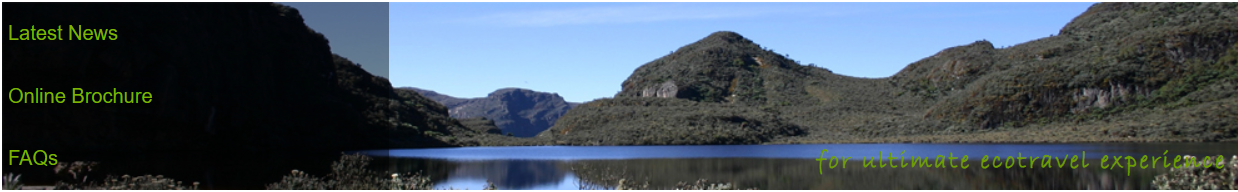
It also harbours the source of the River Nile, Lake Victoria, which is also the second largest fresh water body in the whole world.
Major Public Holidays
- New Year's Day - 1 January
- NRM Liberation Day - 26 January
- International Women’s Day – 8th March
- Good Friday, Easter Sunday & Easter Monday - March – April (end of 40days lent period)
- International Labour Day – 1 May
- Martyrs' Day - 3 June
- National Heroes Day - 9 June
- Eid-al-Fitr (End of Ramadhan) – 2nd week of September)
- Independence - 9 October
- Eid-al-aduha (during the 3rd week of November)
- Christmas Day - 25 December
- Boxing Day - 26 December
Note: Muslim event dates are timed according to local observations of the phases of the moon
Other
Smoking: Smoking is banned in public places including restaurants and bars (only for those above 18years). Alcohol is restricted to only those above 18years
Tipping: becoming popular and is always expected especially from foreigners
Food & Drink:
- Matooke (most common staple food made from bananas)
- Millet bread
- Cassava and potatoes (good carbohydrate sources)
- Chicken, Fresh fish and beef stew (popular sauces)
Common and popular beverages include Tonto (mixture of fermented banana juice and Sorghum) and Waragi (Purified local gin made from bananas)
Public Transport: most common means include; Coaches, omnibus taxis, Saloon cars, Boda Boda (Motocyles), bicycles.
Roads: there are smooth tarmac connecting to most of the major towns. Feeder roads and all the roads in national parks are not tarmac. They are sometimes bumpy and dusty during dry season; a few can be muddy & impassable during the rainy season.
Several local airlines operate scheduled and charter flight services within the country as well as neighbouring countries like Rwanda, South Sudan, Tanzania and Kenya
For private transport, customized tourist vehicles are available for hire. They offer great comfort, air conditioning, with open roof-hatches for easy viewing and photography.
Communication: mobile phone network is widespread; as well as internet centres in most towns and accommodation facilities. The internet connection speed is however slow in some cases.
For more information please refer to the Frequently Asked Questions